

Looking up the Blue Nile, at Khartoum. Source: The Illustrated London News 86 (14 February 1885): 179. [Click on images to enlarge them.]

Site of Omdurman, at the Junction of the Blue and White Niles.

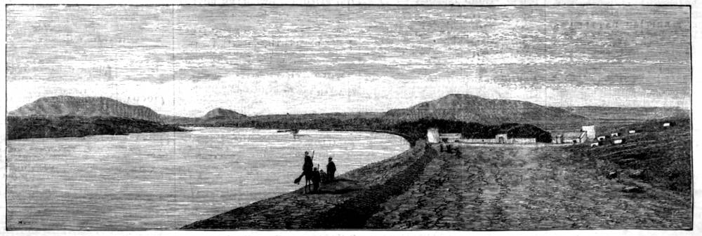
Looking Down the Nile, Sixty Miles from Khartoum. Mount Rooeyan at left, and Sixth Caraact in the right distance. This plate has the name “Montgard” lower left.
Looking down the Nile to Abou Hamed Fort. Magrat Island at left, and Jabel Abna at right.

- The Sudan (homepage)
- The Suez Canal
- Egypt and the British Empire (homepage)
- Five Scenes near the Hannekh Cataract
- Three Views of the Nile by Various Artists
- Four Views of Karthoum and the Nile from Photographs
You may use these images without prior permission for any scholarly or educational purpose as long as you (1) credit the Hathi Trust Digital Library and the University of Chicago and (2) link your document to this URL in a web document or cite the Victorian Web in a print one.
Bibliography
Illustrated London News 86 (3 January 1885): 1. Hathi Trust Digital Library online version of a copy in the University of Chicago Library. Web. 21 August 2020.
Last modified 23 August 2020